- Feedback
- View
You are using an out of date browser. It may not display this or other websites correctly.
You should upgrade or use an alternative browser.
You should upgrade or use an alternative browser.
Today's Ride
- Thread starter FairfaxPat
- Start date
Re:
My wife was feeling a bit under the weather this weekend so no morning rides, just long walks with Cooper; no bad thing.
Fresh 12-13 degrees warming to 15'ish by 08:00 this morning. Happy International Ride MTB day! To celebrate I wore the world champ jersey although I'm not on the same planet of skill or athleticism as the original world champ, Cindy Devine. The slope wasn't intentional but that's what Cindy was an absolute boss at blasting down

MMBHOF have a superb write up of Cindy's accomplishments; she was the Canadian trail blazer in more ways than one: https://mmbhof.org/cindy-devine/
The interview and pics are from MBUK January 1992.


My wife was feeling a bit under the weather this weekend so no morning rides, just long walks with Cooper; no bad thing.
Fresh 12-13 degrees warming to 15'ish by 08:00 this morning. Happy International Ride MTB day! To celebrate I wore the world champ jersey although I'm not on the same planet of skill or athleticism as the original world champ, Cindy Devine. The slope wasn't intentional but that's what Cindy was an absolute boss at blasting down

MMBHOF have a superb write up of Cindy's accomplishments; she was the Canadian trail blazer in more ways than one: https://mmbhof.org/cindy-devine/
The interview and pics are from MBUK January 1992.


Had planned a half road, half fire-road on the VIT T2 but went all road instead to get a bit more of a climb in. Not many photo ops!
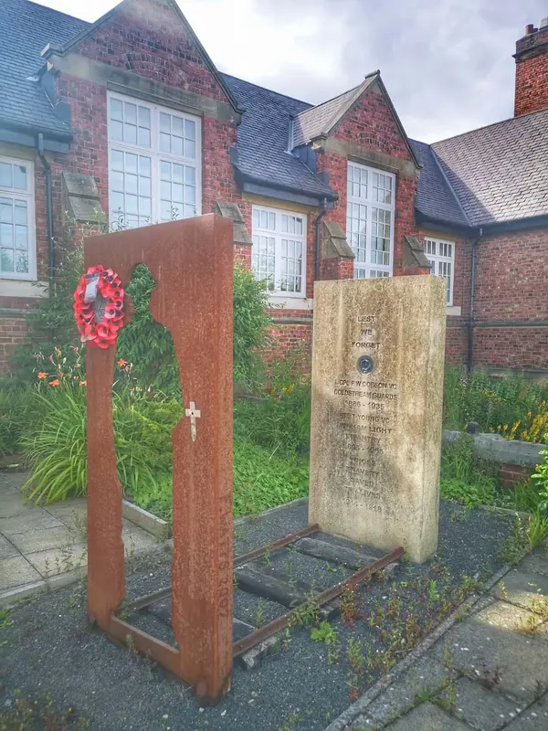
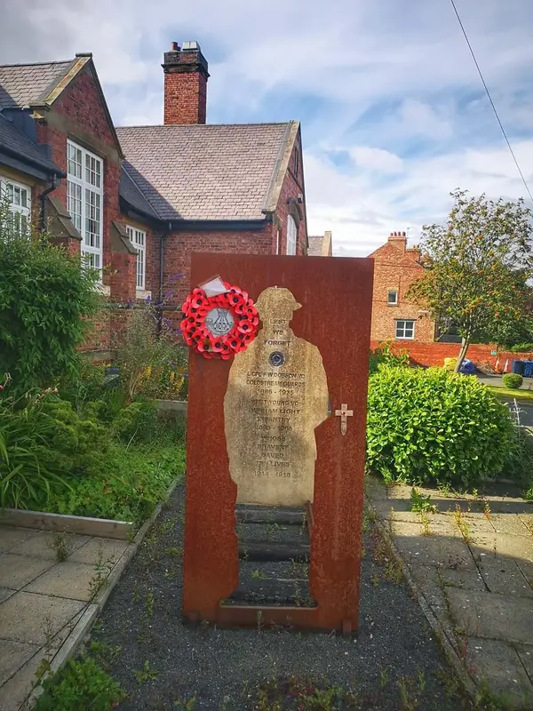
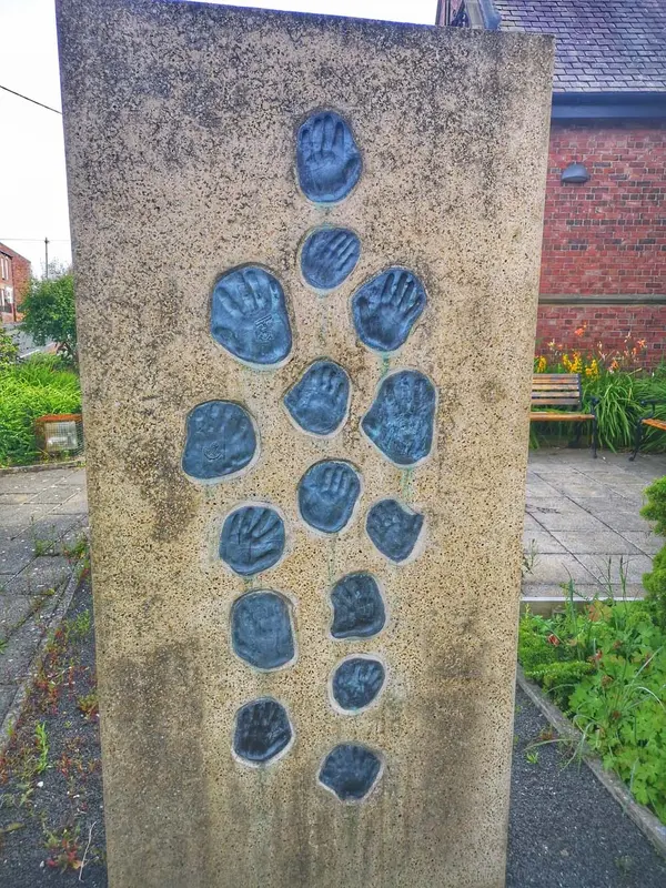
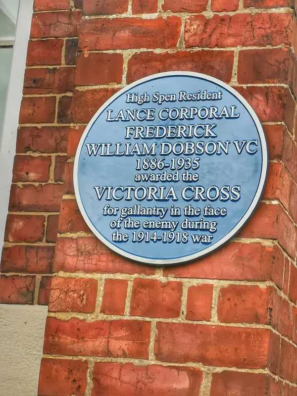
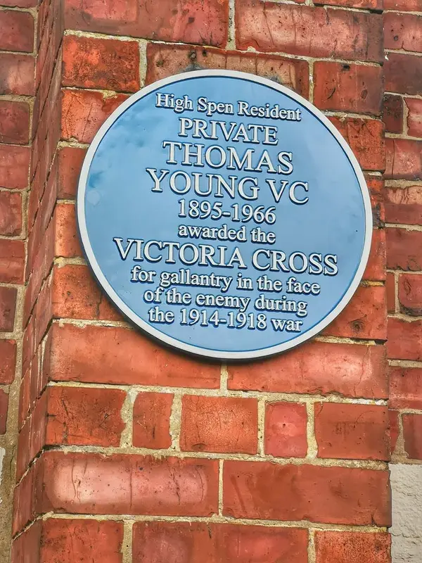
I took some pics of the memorial at the village primary school to two soldiers from the local pits awarded the Victoria Cross in WW1. At 11am 11 November the sun casts a shadow of a soldier on the stone.
http://www.thejournal.co.uk/news/north- ... ge-4520927
I took some pics of the memorial at the village primary school to two soldiers from the local pits awarded the Victoria Cross in WW1. At 11am 11 November the sun casts a shadow of a soldier on the stone.
http://www.thejournal.co.uk/news/north- ... ge-4520927
Attachments
Re: Re:
 want that jersey, missed out on a couple of them now.
Thanks for posting the article, plenty of pics and info about her later years but hard to find from this period. Need to get a copy of that mag now
al-onestare":1ypimdba said:My wife was feeling a bit under the weather this weekend so no morning rides, just long walks with Cooper; no bad thing.
Fresh 12-13 degrees warming to 15'ish by 08:00 this morning. Happy International Ride MTB day! To celebrate I wore the world champ jersey although I'm not on the same planet of skill or athleticism as the original world champ, Cindy Devine. The slope wasn't intentional but that's what Cindy was an absolute boss at blasting down

MMBHOF have a superb write up of Cindy's accomplishments; she was the Canadian trail blazer in more ways than one: https://mmbhof.org/cindy-devine/
The interview and pics are from MBUK January 1992.


Thanks for posting the article, plenty of pics and info about her later years but hard to find from this period. Need to get a copy of that mag now
Re:
Hands up, I didn't know about International Ride your MTB day, or whatever it's called, but I participated anyway.
The MTrax is slotting in to the commuter hole left by the c16r, and proving quite worthy. It's comfortable, light and gets on with the job. Tbh, if I didn't know it had titanium main tubes I'd be none the wiser. I seem to have made a better job of making it fit me too, as I don't get any lower back pain.
Anyway, I'm home from work. Today was a ride day. A commute day. So a big miles day. I managed to streamline to 43 miles today over the two runs. That's the shortest I've done.
I'm not feeling exhausted today. Added to a couple of bits of good news, and some stunning weather, what more could I ask for?
17°c and cool going in.
26°c with a light breeze on the way back.
Attachments
CassidyAce
Senior Retro Guru
Re:
Great photo!
Great photo!
Glorious blue skies, no breeze but a fresh 12 rising to 14 by 08:00 this morning. Most of the moisture has disappeared leaving the trails packed with no dust (yet). Really quick and broadly quiet. Nothing of note to report other than big grins and putting in the miles :mrgreen:


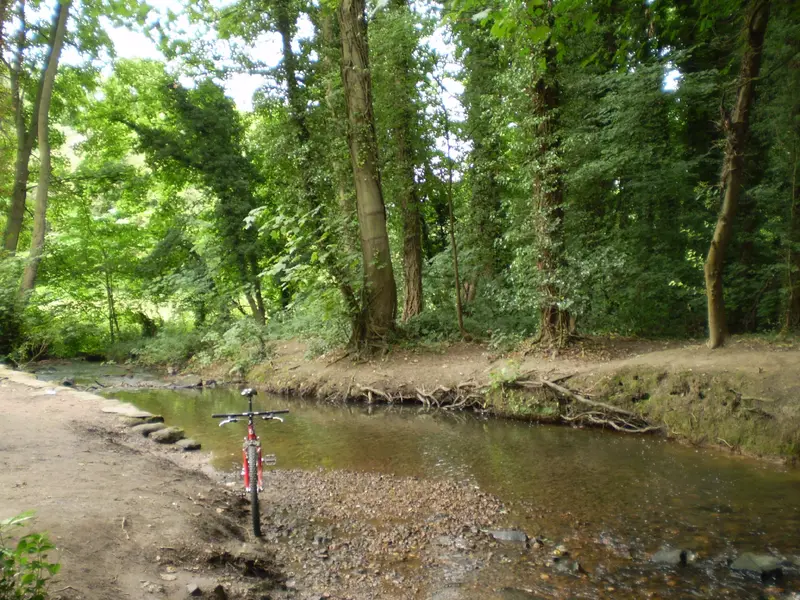
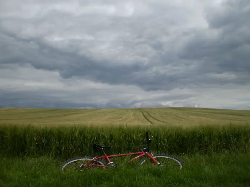
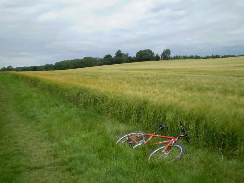
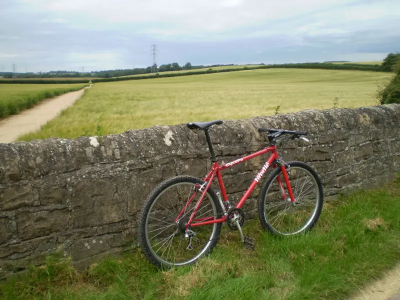
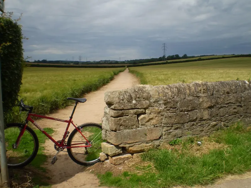
Short-ish shakedown ride today for the Brodie.
Wanted to take a bit of everything in so the route was fields, tracks, grass tracks, gravel tracks, bike tracks, forest roads and singletrack. Think that's most things covered. The ride was short but the bike makes you ride fast so a good workout.
The sun stayed in most the time but the air was still warm so another hot ride. Lots of people out in the rivers and walking their dogs, think its due to the summer holidays starting this week.
Good blast.
Attachments
romanrinos
Kona Fan
Looks fantastic Mark - love the stance, black XT rinsg with the white and red livery too.
I can't tell what tires you've fitted there?
I can't tell what tires you've fitted there?
