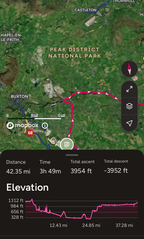
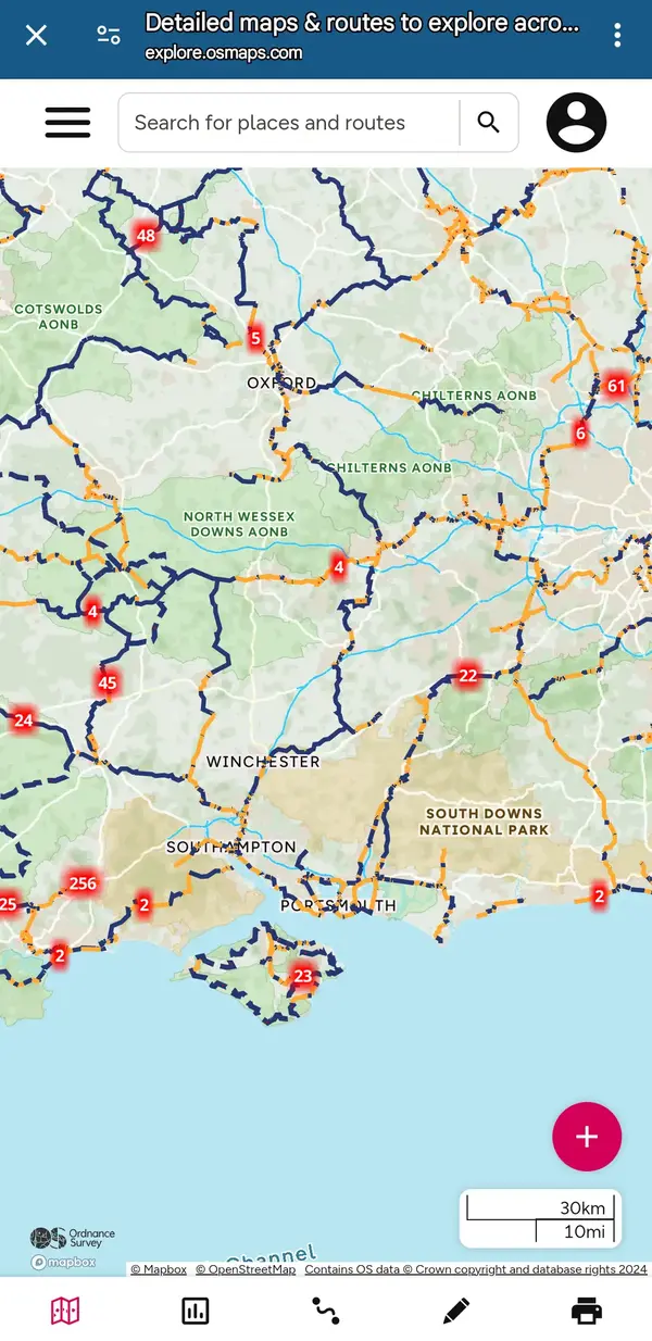
Route planning in addition to Google.

I use OS Maps to plan routes as often they are a combination of roads/bridleways/tracks which Google isn’t great at joining together. There’s a great function on it where you can slide the elevation scale along to find out where the hills are, it won’t show in the screen shot but gives you the elevation in feet at the location. It’s been the deciding factor in which direction to attack some of the loops I plan. I prefer to get climbing done first if possible. I’m new to using tech for cycling so still learning. I send it to a garmin for on the route which scares me with alerts for climbs coming up!

Also use https://cafes.cyclingmaps.net/ to plot any breaks in, hats off to the person who started and maintains it!

IMG_5168.jpeg
 
Back
Top