Rest and hydration time.
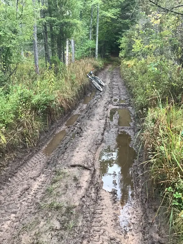
Today it was sprinkling rain and 10C. I got a little cold, but not bad. I started on the gravel access road to our house. After 500 meters on our access road I have a trail that I made and keep open for cycling. We are lucky to have a lot we purchased 30 years ago on a lake in the Hiawatha National Forrest. The Forrest is huge so I can ride forever on gravel and have a self maintained 72 mile woods trail right from my front door. I cut the deadfalls out, but only wide enough for a bicycle. If ATV riders come along they have to cut it wider, I’m not doing their work.View attachment 665634View attachment 665635
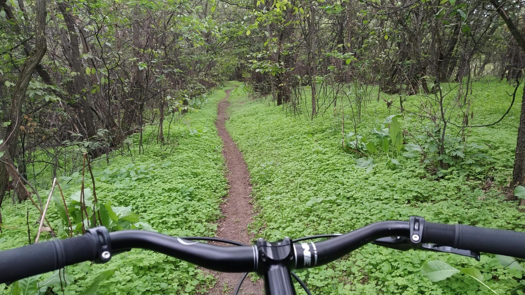
I need to cut out the overhead brush. I didn’t get around to it this spring.View attachment 665636
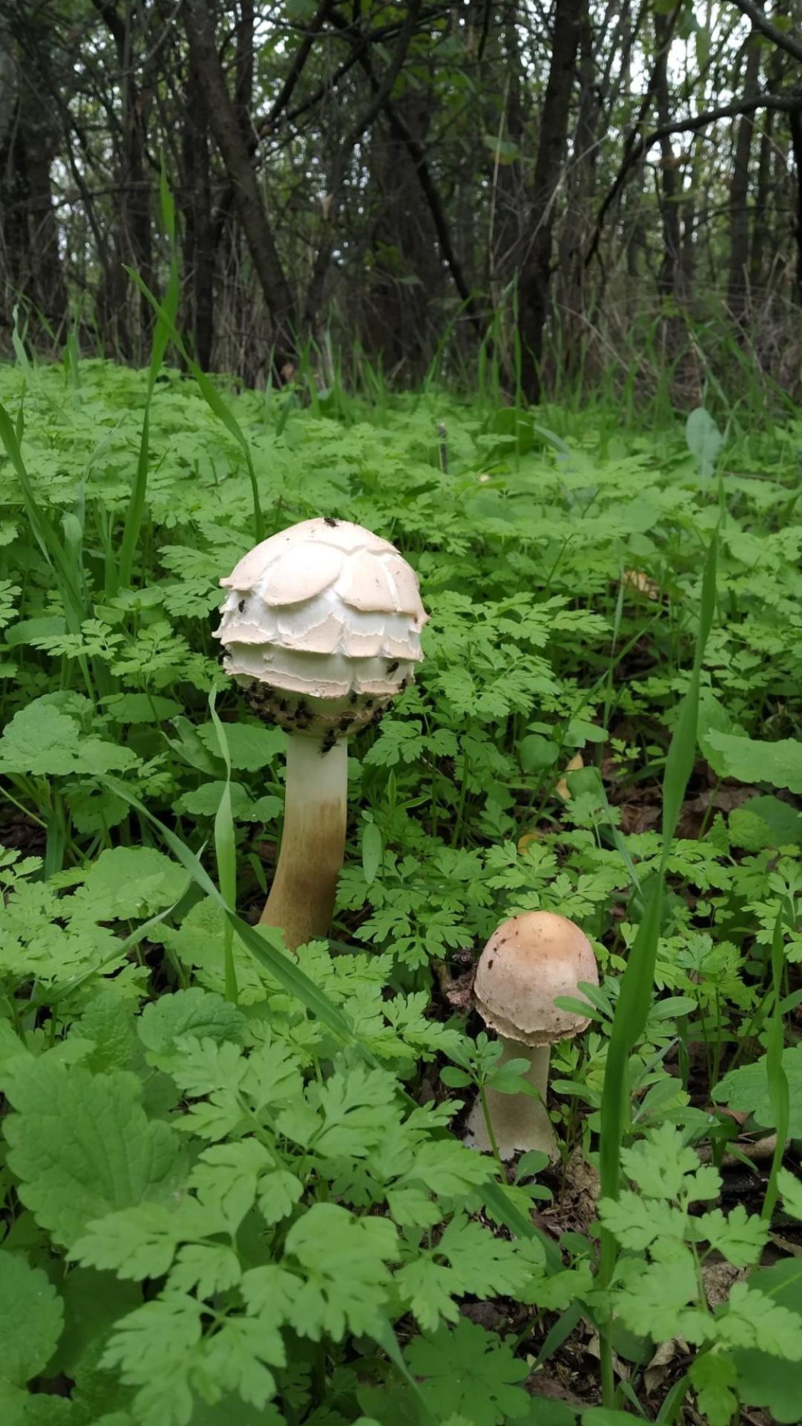
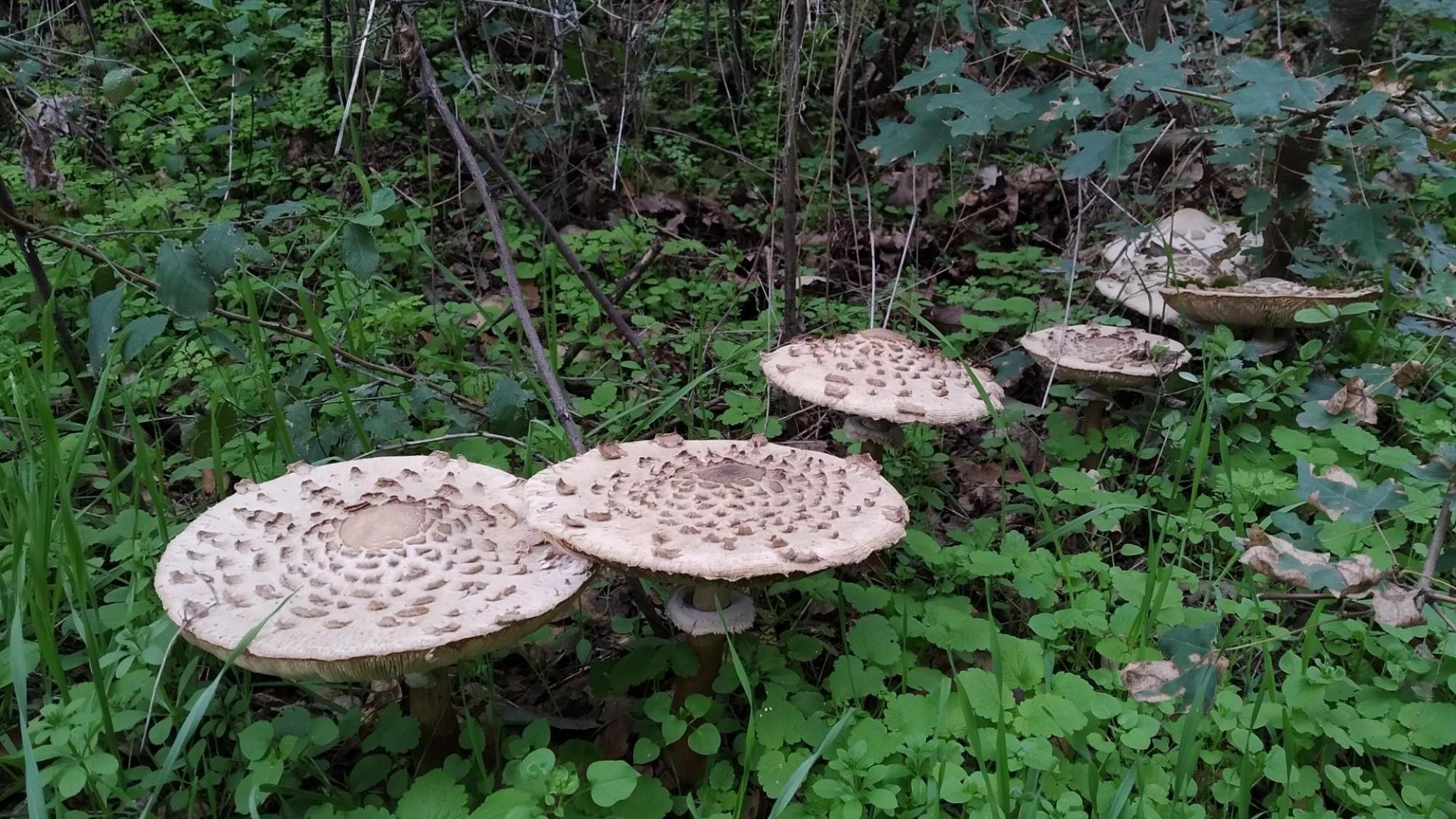
There are many, many lakes and ponds in the Hiawatha Forrest.View attachment 665637View attachment 665638
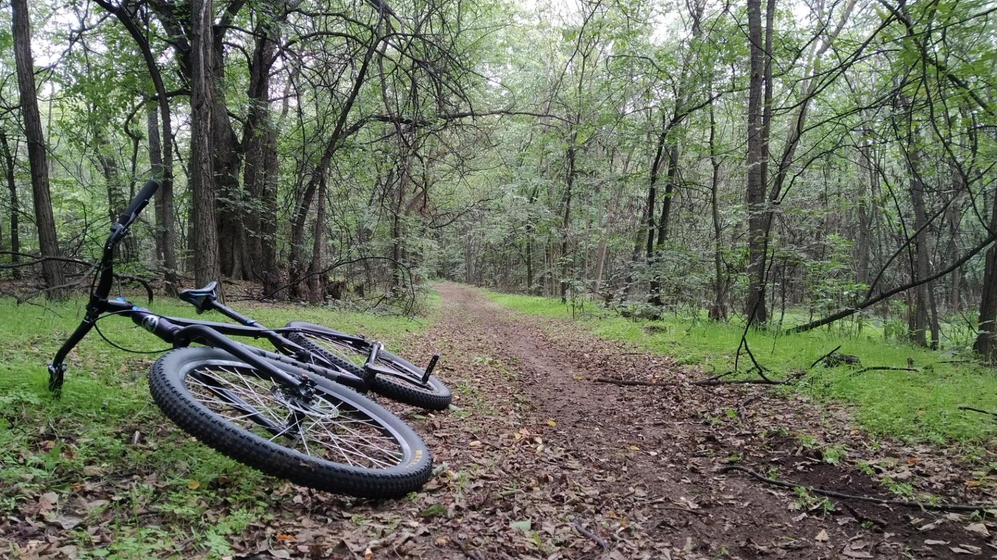
Nice trees. Peaceful.View attachment 665639
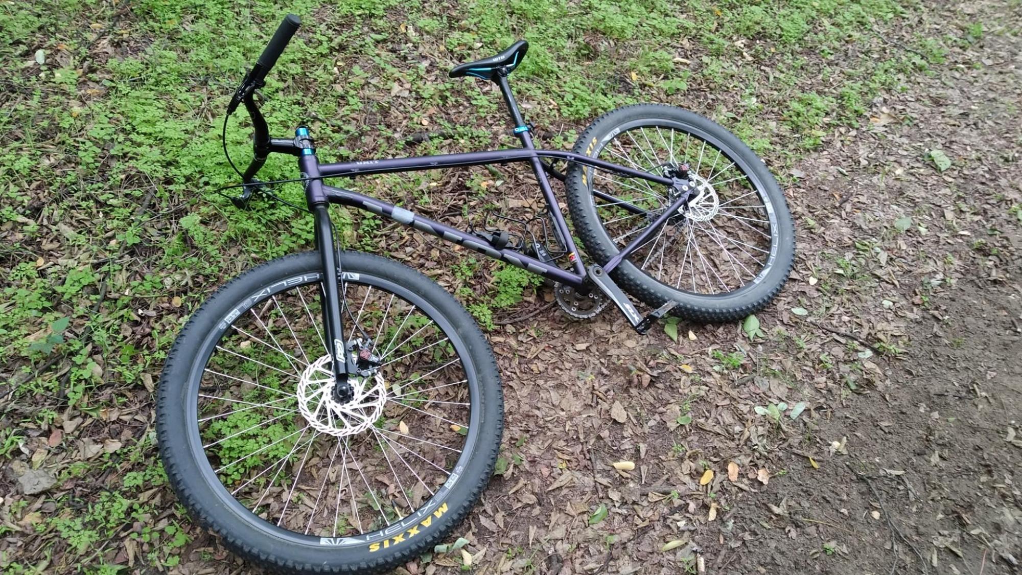
I use a three speed for this easy to ride stuff. Sticks get into a derailleur and mangle them.View attachment 665640View attachment 665641
Time for a breather.View attachment 665642
A short section of gravel, as good as it gets.View attachment 665643
The Hiawatha National Forest is 879,000 acres, a small part of Michigan’s Upper Peninsula. We live right in the center of the Hiawatha National Forrest. The UP contains 16,500 square miles (about the size of Denmark) of which 84% is forest so I have endless logging and fire trails to ride. It’s all bush and wilderness. The population since 1900 has remained pretty constant with a little less than 300,000 for the all time max. It’s a little less than that now. Over two thirds of the population live in villages with less than 2000 people.Rest and hydration time.View attachment 665649
Homemade connector trail between logging skids. Everyone calls them trails that aren’t or corncob connectors.View attachment 665644
Mud in a boggy area between ponds.View attachment 665646
One of the four ponds my trail weaves around. I didn’t go by them all today as I only rode about 6 miles because of the drizzle.View attachment 665647
I finished up by getting our mail. Area drop box on our gravel access road.View attachment 665648
How do you not get lost!The Hiawatha National Forest is 879,000 acres, a small part of Michigan’s Upper Peninsula. We live right in the center of the Hiawatha National Forrest. The UP contains 16,500 square miles (about the size of Denmark) of which 84% is forest so I have endless logging and fire trails to ride. It’s all bush and wilderness. The population since 1900 has remained pretty constant with a little less than 300,000 for the all time max. It’s a little less than that now. Over two thirds of the population live in villages with less than 2000 people.
It’s like a spider web and it’s always changing from logging. Most logging trails dead end. GPS in some areas doesn’t show roads, it shows you moving along a blank screen with no features to help locate yourself. I just explore on the bike. I sometimes don’t know where I’ll end out. I’ve gotten temporarily disoriented. There is no cell service where I ride. Once I figure out a route I like I clear it for biking. I have a mile section I can’t ride right now because I have to cut out deadfalls. I’ll do that this week.How do you not get lost!
Consider moving over pre covid except health insurance for my Mrs was a no no!
Those look like great trails, the stuff I absolutely adore. I could spend a minute or two poking around out there. Reminds me of the real wild stuff up north.The Hiawatha National Forest is 879,000 acres, a small part of Michigan’s Upper Peninsula. We live right in the center of the Hiawatha National Forrest. The UP contains 16,500 square miles (about the size of Denmark) of which 84% is forest so I have endless logging and fire trails to ride. It’s all bush and wilderness. The population since 1900 has remained pretty constant with a little less than 300,000 for the all time max. It’s a little less than that now. Over two thirds of the population live in villages with less than 2000 people.
My father used to have a camp between Chapelau and Hornepayne in Northern Ontario. No trails. We got off the train at a river and floated 10K to his moose and fishing camp on an island in the river. My job was to hike a mile down the rr tracks and another bush wack mile down the river to his boat and motor shed hidden in the bush. The River went to James Bay. You could only travel by water. The cabin was an old logging headquarters with jack pine log out buildings built for him by Native Americans. The cabin was disassembled at its original location and Natives floated it to the island on catamarans made from two freighter canoes. An addition was later added when a train derailed and dumped lumber in the woods and solvent chemicals into the river. The solvent ruined the fishing for many years. Nothing there and I mean nothing except moose, wolves and other bad critters up there. No farms, villages or people. That place was unsettling. It’s not the end of the world here in the UP but you can see it from here. It’s on the other side of Lake Superior, the real north woods, all the way west to Kenora and east to Atlantic Canada. It dips down a little into Northern Minnesota. We’re fringe woods that is being converted to McBush.Those look like great trails, the stuff I absolutely adore. I could spend a minute or two poking around out there. Reminds me of the real wild stuff up north.