It's been a funny old week. Didn't feel great this morning so gave it a miss.
Yesterday however...
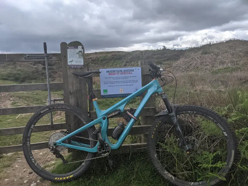
Narrow singletrack along the bank of the Don. On your left some fierce and unforgiving Stinging Nettles and Brambles. This requires gritting of teeth and a steady nerve. Getting it wrong means more Nettles on your right, and a steep drop into the river.
Waddington's boatyard in the background. The bridge is all that remains of Kilnhurst Colliery, except for a winding wheel set as a memorial in a local churchyard.
With mist and fog this morning, it looked like a dreary day in November for most of the ride, but at 18°C, it was shorts and T-shirt weather. There's been a lot of rain recently, meaning that the local trails are very muddy, meaning that much time has been spent bike cleaning, meaning that I fancied a ride that was followed by lunch rather than another stint cleaning off mud, grit and sheep dung. So, I decided to go for a country lanes ride.
The Stumpy is in need of a bit of TLC at the moment, so I took the RockHopper, which is already set up with slicks but hasn't had much use recently. The ride quality of the frame is still great but it's lacking a bit of sprightliness in its current configuration and I need to tweak it a bit if it's going to get used more regularly - dropping down from a 44t big ring to 42t will probably be the first step.
Anyway, I decided to ride to the village of Chillenden via Patrixbourne, Adisham, Aylesham and Frogham. From Chillenden, I looped back to Adisham; and, having passed back through Adisham, I looped through Bridge before returning to Patrixbourne and back home. 28 miles in total.
Wheat fields aplenty:
Mist in the distance. A bit bleak-looking but T-shirt weather despite appearances:
The pretty little village of Chillenden:
But sadly, these days, Chillenden is probably best known for the murders of Lin and Megan Russell (and their dog) in 1996. I didn't plan it, but I rode past the path where they were murdered. There were flowers by the roadside and the path leading off it sparked a dim memory of news footage. It should have been beautiful and peaceful countryside but knowledge of those brutal murders gave the area an eerie air of emptiness and silence. The flowers were just to the left of where I was standing when I took this photo; the path was just up the road on the right.
There are several roads in and out of Otley.
1. The main road to Leeds is the A660, and it's a gentle climb.
2. East Chevin Road is marked on OS maps with a single chevron (a gradient between 1 in 7 and 1 in 5). When driving it in a car it looks sufficiently severe that I've never attempted it on my fixed wheel road bike.
3. West Chevin Road is also marked with a single chevron on OS maps, but in my opinion is easier than East Chevin, as it has some gentler sections.
4. The roads towards Ilkley and Pool are both fairly flat, as they follow the river Wharfe.
5. The other main road is Carr Bank. It heads northwards out of Otley, and is also marked with a single chevron. It's a long climb, but it does have some gentler sections, allowing recovery before the next steep bit.
I rode from Leeds, down the gentle incline of the A660 Leeds road into Otley, then I crossed the river Wharfe, and climbed out of Otley up Carr Bank. It was a bit of a struggle on the fixed wheel, but slightly easier than last time, so I guess I must be getting fitter and stronger.
From the top I can see the Chevin on the horizon, which is where I'm going next. The trig point on the right of the picture is 256m elevation, so I've climbed a little over 200m from the bridge over the river Wharfe in Otley.
Looking in another direction, I can see the 'golf balls' at Menwith Hill.
Zooming in on the 'golf balls'
This is the road down to Askwith. I drag the brakes slightly most of the way to keep my RPM under control. At the bottom it's a quick, easy spin back into Otley, where I head up the West Chevin road.
From the top of the Chevin, I can see Leeds Bradford Airport (centre-left), and its runway (right). I don't think I've ever seen so many tailfins there before. Normally they turn around quite quickly and fly away again. Maybe all the aircraft are being stored until demand resumes. Beyond the tailfins, a few of the tower blocks in Leeds city centre can be made out.
Looking north I can see Otley, and the hill I've just come from. The radio mast in the first picture is barely visible on the horizon, about 2/3 across from the left.
From the top of the Chevin, it's a fairly easy ride back home.
Managed to dodge the rain and thunder today, but it was very humid. I needed to refill my water bottle mid-ride!
Pleased with myself that I've cycled twice this month!
Looking south towards Lavant from near the Trundle.
I decided to dispense with the ebike for todays ride to work - downhill there & I was picking my van up from the garage at the bottom of the climb back on the way home so a useful ride to wean myself back on to self powered cycling. The ride was my 1999 Orange Evo2 that I rebuilt in January before my ankle op. Didn't miss a beat on its maiden voyage. River in the pics is the Tyne.
I decided to dispense with the ebike for todays ride to work - downhill there & I was picking my van up from the garage at the bottom of the climb back on the way home so a useful ride to wean myself back on to self powered cycling. The ride was my 1999 Orange Evo2 that I rebuilt in January before my ankle op. Didn't miss a beat on its maiden voyage. River in the pics is the Tyne.